It's Like You're There!
The enhancements integrate all of the location information, including photos and comments into Google Earth so you can see all of your information from within Google Earth. The Google Earth view also now simulates the CommunityWalk view, providing an easily recognizable starting point.
A good example is the map my girlfriend made of a trip we took to Yosemite National Park with her parents. You can see the map on CommunityWalk here.
Once the map loads you can click "Share" in the bottom right corner and then "Google Earth". You must have Google Earth installed to do this, but it is a free download that you can find here.
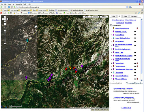
Here is a screenshot of the map in CommunityWalk.

Click on the image for a larger version.
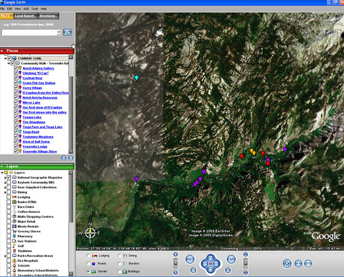
Here is a screenshot of the same map in Google Earth. Notice how it looks very much the same as it looks in CommunityWalk. This is how it looks when it is first loaded.

Click on the image for a larger version.
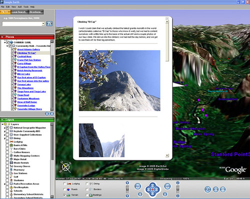
With some manipulation of Google Earth, though, we can see this map in a whole new way, with 3d images of Yosemite Valley to really make it come alive!

Click on the image for a larger version.
Want to see it for yourself? Just goto the CommunityWalk Map, click "Share" in the bottom right corner, and click "Google Earth".
You might have to familiarize yourself a bit with the controls of Google Earth before you can enjoy the full experience. More information and instruction on using Google Earth can be found here.


